About Grass
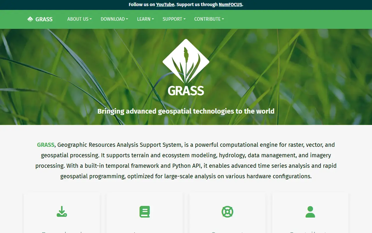
GRASS (Geographic Resources Analysis Support System) is a computational engine for raster, vector, and geospatial processing. It supports terrain and ecosystem modeling, hydrology, data management, and imagery processing.
It includes a built-in temporal framework and a Python API for advanced time series analysis and rapid geospatial programming. It is optimized for large-scale analysis on various hardware configurations and is available for Windows, macOS, Linux, Docker, and conda.
Key features
- Raster, vector, and geospatial processing
- Terrain and ecosystem modeling
- Hydrology analysis
- Data management and imagery processing
- Built-in temporal framework for time series analysis
- Python API for geospatial programming
Good fit for
- Large-scale geospatial analysis
- Time series analysis
- Terrain and ecosystem modeling
Grass: questions and answers
- What is Grass used for?
- GRASS is a free and open-source geospatial processing engine supporting raster, vector, terrain, ecosystem modeling, hydrology, data management, imagery processing, and time series analysis. It is a good fit for large-scale geospatial analysis, time series analysis, and terrain and ecosystem modeling.
- Is Grass open source?
- Yes. Grass is open source under a custom licence. Its source code is on GitHub at OSGeo/grass and is written mainly in C.
- Is Grass free?
- Yes. Grass is open source, so the software itself is free to use under the terms of its own licence.
- Can I self-host Grass?
- Yes. Grass can be self-hosted on your own server or infrastructure.
- What is Grass an alternative to?
- Grass is an open-source alternative to ArcGIS. Other open-source alternatives to ArcGIS include QGIS, GeoServer and GeoDa.
- Is Grass actively maintained?
- Yes. The most recent commit to Grass was on 13 October 2026, and the latest release is 8.5.0, published on 8 May 2026. The project has 1.2k stars on GitHub.
Open-source alternatives to Grass
See all
QGIS
Analytics
QGIS is a free, open source, cross platform (lin/win/mac) geographical information system
GPL-2.0vs ArcGIS★ 15k
GeoServer
Data Pipelines & ETL
Official GeoServer repository
OSSvs ArcGIS★ 4.5k
GeoDa
Open source
GeoDa: An introduction to spatial data analysis
GPL-3.0vs ArcGIS★ 808
OpenStreetMap
Maps & Navigation
The Rails application that powers OpenStreetMap
GPL-2.0vs Google Maps★ 2.8k
Organic Maps
Maps & Navigation
🍃 Organic Maps is a free Android & iOS offline maps app for more than 6M travelers, touri
OSSvs Google Maps★ 16k
Dawarich
Maps & Navigation
The private alternative to Google Timeline. Import your location history, keep it forever.
AGPL-3.0★ 11k
SaaS alternatives to Grass
See all
ArcGIS
Analytics
Esri geographic information system software for mapping and spatial analysis
SaaS
Felt
Maps & Navigation
Collaborative web mapping tool for making and sharing maps
SaaS
CARTO
Maps & Navigation
Cloud-native location intelligence and spatial analytics platform
SaaS
Cesium
Maps & Navigation
3D geospatial platform and Cesium ion for streaming 3D tiles and terrain
SaaS
Nearmap
Maps & Navigation
High-resolution aerial imagery and location data subscription service
SaaS
Bing Maps
Maps & Navigation
Microsoft mapping and directions service
SaaS