
About GeoServer
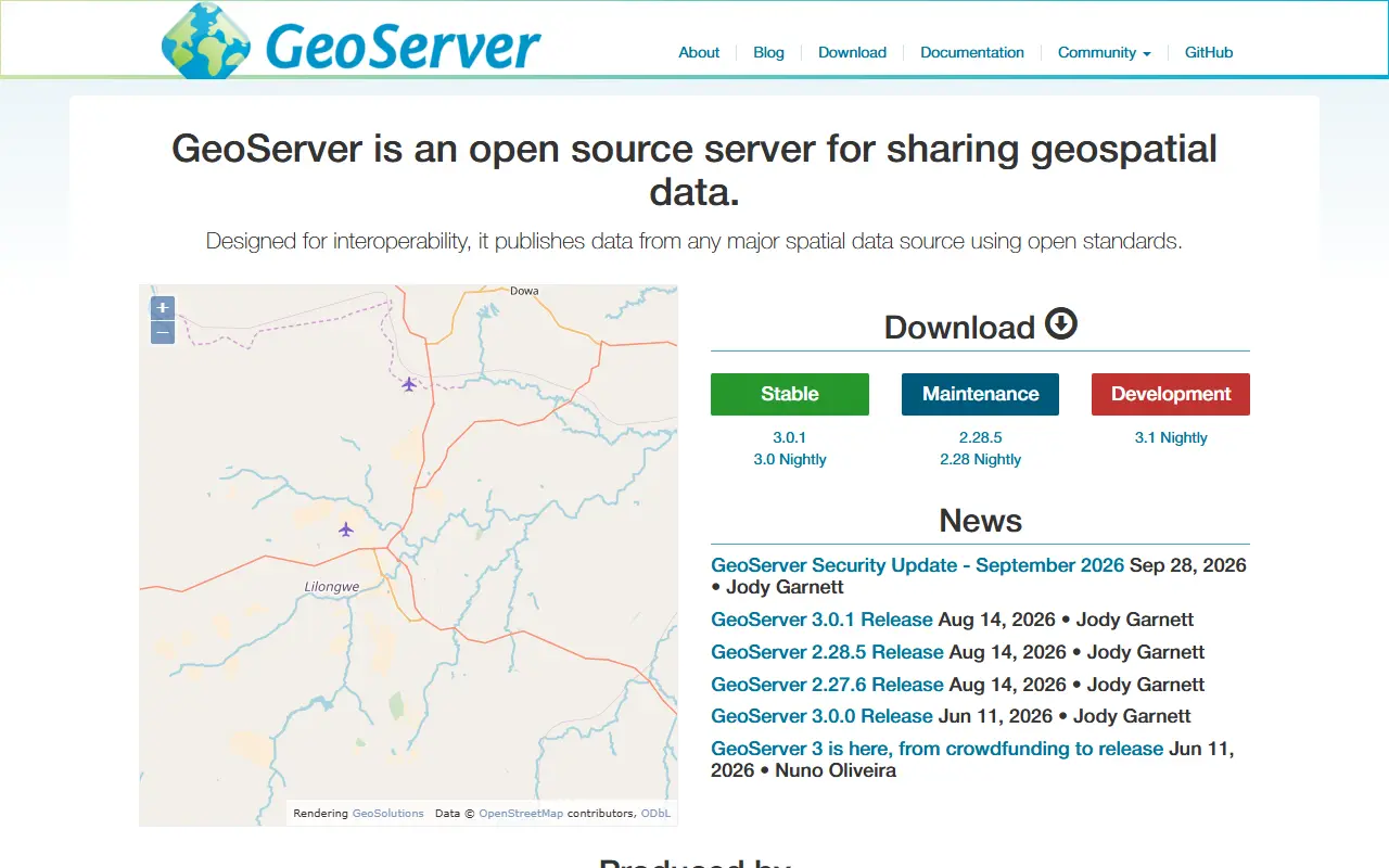
GeoServer is an open-source server written in Java that lets users share and edit geospatial data. It serves data from the common spatial data sources through open standards, which keeps it interoperable with other geospatial software.
GeoServer is the reference implementation of the Open Geospatial Consortium's Web Feature Service and Web Coverage Service standards, and offers a certified compliant Web Map Service. It also implements OGC API - Features, Catalog Service for the Web and Web Processing Service. Supported formats include GeoPackage and GeoTIFF as reference implementation, plus GML and Shapefile.
GeoServer is community-driven, developed and supported by individuals and organizations around the world, and is licensed under the GPL. It builds with Apache Maven, the user guide and developer guide explain installation and development, documentation is written in Markdown with MkDocs, and issues are tracked in JIRA.
Key features
- OGC WMS, WFS and WCS services
- OGC API - Features support
- Catalog Service for the Web
- Web Processing Service
- GeoPackage, GeoTIFF, GML and Shapefile formats
- Publishes data from major spatial sources
Good fit for
- →Publishing maps and spatial data on the web
- →Sharing geospatial datasets via open standards
- →Editing geospatial features over WFS
- Built with
- Java
- Tags
- geospatial
- gis
- wms
- wfs
- wcs
- mapping
- ogc
- java
GeoServer: questions and answers
- What is GeoServer used for?
- GeoServer is an open-source Java server for sharing and editing geospatial data over open standards, with reference implementations of OGC WFS and WCS. It is a good fit for publishing maps and spatial data on the web, sharing geospatial datasets via open standards, and editing geospatial features over WFS.
- Is GeoServer open source?
- Yes. GeoServer is open source under a custom licence. Its source code is on GitHub at geoserver/geoserver and is written mainly in Java.
- Is GeoServer free?
- Yes. GeoServer is open source, so the software itself is free to use under the terms of its own licence.
- Can I self-host GeoServer?
- Yes. GeoServer can be self-hosted on your own server or infrastructure.
- What is GeoServer an alternative to?
- GeoServer is an open-source alternative to ArcGIS. Other open-source alternatives to ArcGIS include QGIS.
- Is GeoServer actively maintained?
- Yes. The most recent commit to GeoServer was on 2 October 2026, and the latest release is 3.0.1, published on 14 August 2026. The project has 4.5k stars on GitHub.
Open-source alternatives to GeoServer
See all
QGIS
Analytics
QGIS is a free, open source, cross platform (lin/win/mac) geographical information system
GPL-2.0vs ArcGIS★ 14k
Kafka
Data Pipelines & ETL
Apache Kafka - A distributed event streaming platform
Apache-2.0vs Striim★ 34k
Kestra
Data Pipelines & ETL
Event Driven Orchestration & Scheduling Platform for Mission Critical Applications
Apache-2.0vs AWS Step Functions★ 29k
Logstash
Data Pipelines & ETL
Logstash - transport and process your logs, events, or other data
OSSvs Cribl★ 15k
Debezium
Data Pipelines & ETL
Change data capture for a variety of databases. Please log issues at https://github.com/de
Apache-2.0vs Fivetran★ 13k
Maestro
Data Pipelines & ETL
Maestro: Netflix’s Workflow Orchestrator
Apache-2.0★ 3.8k
SaaS alternatives to GeoServer
See all
ArcGIS
Analytics
Esri geographic information system software for mapping and spatial analysis
SaaS
Alation
Data Pipelines & ETL
Data catalog and governance platform for finding and understanding enterprise data
SaaS
Alteryx
Data Pipelines & ETL
Analytics automation platform for data prep, blending and predictive workflows
SaaS
Amazon EMR
Data Pipelines & ETL
Managed big data platform on AWS for running Spark, Hive, Presto and other frameworks
SaaS
Amazon Kinesis
Data Pipelines & ETL
AWS services for collecting, processing and analyzing real-time streaming data
SaaS
Astronomer
Data Pipelines & ETL
Managed Apache Airflow platform for orchestrating data pipelines
SaaS