
About Felt
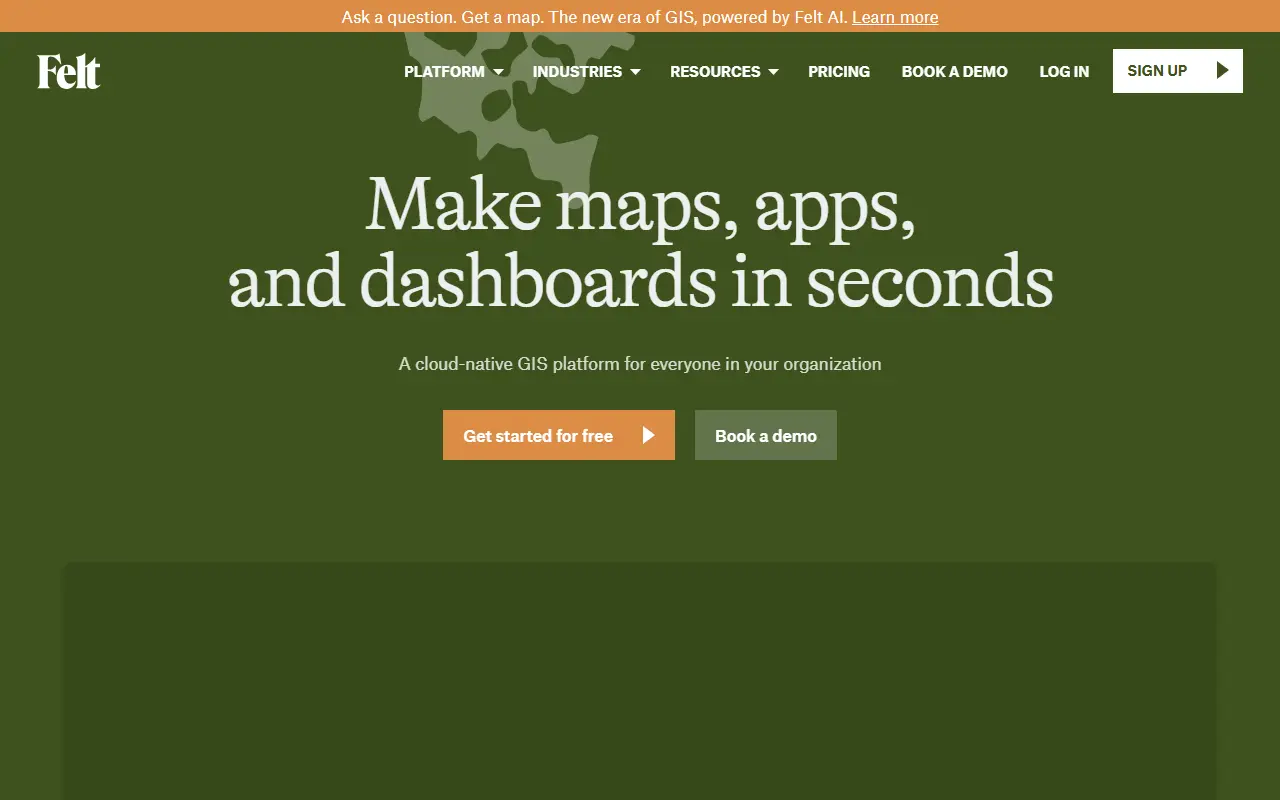
Felt is a cloud-native GIS and online mapping platform aimed at making and sharing maps quickly. It positions itself as a modern, browser-based alternative to traditional desktop GIS software, with a focus on speed, simplicity and collaboration, so that teams can build maps, apps and dashboards in minutes.
The platform includes Web GIS, dashboards, cloud data sources, app development tools, raster support, Felt AI and a field app, plus a QGIS plugin and developer documentation. A gallery of public maps and a help center support new users. It targets industries such as agriculture, cities and government, climate and natural resources, energy and utilities, insurance, real estate, retail and telecom. Felt is a hosted commercial service with a pricing page and demo booking.
Key features
- Browser-based web GIS mapping
- Dashboards built from map data
- Connections to cloud data sources
- App development tools
- Raster data support
- QGIS plugin and field app
Good fit for
- →Sharing a map with colleagues for review
- →Building a dashboard from cloud data
- →Replacing desktop GIS for simple mapping tasks
- Tags
- gis
- web-mapping
- collaboration
- cloud-native
- dashboards
- maps
- geospatial
Felt: questions and answers
- What is Felt used for?
- Felt is a collaborative cloud-native GIS and web mapping platform for building, sharing and publishing maps, dashboards and apps. It is a good fit for sharing a map with colleagues for review, building a dashboard from cloud data and replacing desktop GIS for simple mapping tasks.
- Is Felt free?
- Yes. Felt has a free plan, and paid plans start at $50 per seat per month. A free trial is also available.
- Is Felt open source?
- No. Felt is proprietary (closed-source) software and can't be self-hosted. In the Maps & Navigation category, open-source options include OpenStreetMap, Organic Maps and Dawarich.
Open-source alternatives to Felt
See all
OpenStreetMap
Maps & Navigation
The Rails application that powers OpenStreetMap
GPL-2.0vs Google Maps★ 2.8k
Organic Maps
Maps & Navigation
🍃 Organic Maps is a free Android & iOS offline maps app for more than 6M travelers, touri
OSSvs Google Maps★ 16k
Dawarich
Maps & Navigation
The private alternative to Google Timeline. Import your location history, keep it forever.
AGPL-3.0★ 11k
OsmAnd
Maps & Navigation
OsmAnd
OSSvs Google Maps★ 6.1k
Wanderer
Maps & Navigation
wanderer is a self-hosted trail database. Save your adventures!
AGPL-3.0vs Komoot★ 3.9k
iD
Maps & Navigation
🆔 The easy-to-use OpenStreetMap editor in JavaScript.
ISC★ 3.9k
SaaS alternatives to Felt
See all
CARTO
Maps & Navigation
Cloud-native location intelligence and spatial analytics platform
SaaS
ArcGIS
Analytics
Esri geographic information system software for mapping and spatial analysis
SaaS
Mapbox
Maps & Navigation
Maps, navigation and location APIs and SDKs for developers
SaaS
Cesium
Maps & Navigation
3D geospatial platform and Cesium ion for streaming 3D tiles and terrain
SaaS
Nearmap
Maps & Navigation
High-resolution aerial imagery and location data subscription service
SaaS
Azure Maps
Maps & Navigation
Microsoft mapping, search and routing APIs on Azure
SaaS