
 AllTrails
 Gaia GPS
 Ride with GPS
 MAPS.ME
 CoPilot GPS
 Magic Earth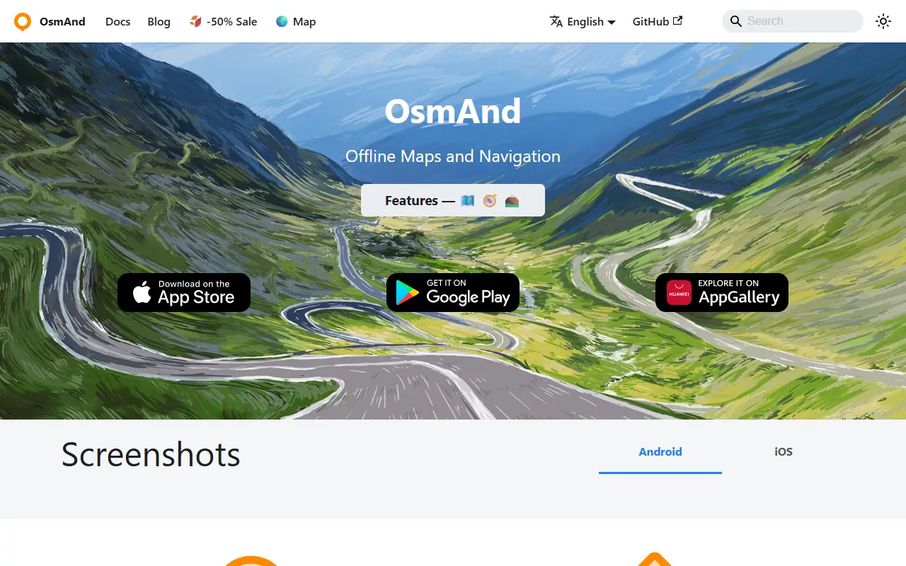
About OsmAnd
OsmAnd, short for OSM Automated Navigation Directions, is a map viewing and navigation application for mobile devices. It uses the free, worldwide OpenStreetMap database and puts particular stress on complete offline use, with preloaded map data, or economical internet usage.
Using the device's GPS, it provides routing with visual and voice guidance for car, bike and pedestrian travel. Navigation works online or offline, with turn-by-turn voice guidance, optional lane guidance, street name display, estimated time of arrival, intermediate points and automatic re-routing. You can search for places by address, by type such as restaurants, hotels or museums, or by coordinates. On the map it shows your position and orientation and can align the map to the compass or direction of motion.
OsmAnd is written in Java, and the app is distributed through Android markets and the Apple App Store. The repository lists its licence as other, so check the project for the exact terms, and community discussion takes place in a Google group.
Key features
- Offline maps from OpenStreetMap data
- Turn-by-turn voice guidance
- Routing for car, bike and pedestrians
- Lane guidance and estimated arrival time
- Automatic re-routing
- Place search by address, type or coordinates
Good fit for
- →Navigating while traveling abroad without data roaming
- →Hiking and cycling with offline maps
- Built with
- Java
- Tags
- maps
- navigation
- openstreetmap
- offline
- gps
- android
- ios
- routing
OsmAnd: questions and answers
- What is OsmAnd used for?
- OsmAnd is a map and navigation app for mobile devices that uses OpenStreetMap data and works fully offline with voice-guided routing. It is a good fit for navigating while traveling abroad without data roaming, and hiking and cycling with offline maps.
- Is OsmAnd open source?
- Yes. OsmAnd is open source under a custom licence. Its source code is on GitHub at osmandapp/OsmAnd and is written mainly in Java.
- Is OsmAnd free?
- Yes. OsmAnd is open source, so the software itself is free to use under the terms of its own licence.
- Can I self-host OsmAnd?
- Yes. OsmAnd can be self-hosted on your own server or infrastructure.
- What is OsmAnd an alternative to?
- OsmAnd is an open-source alternative to Google Maps, Apple Maps, Waze and Citymapper. Other open-source alternatives to Google Maps include Organic Maps and OpenStreetMap.
- Is OsmAnd actively maintained?
- Yes. The most recent commit to OsmAnd was on 2 October 2026, and the latest release is 2.0.0, published on 15 October 2019. The project has 6.1k stars on GitHub.
Open-source alternatives to OsmAnd
See all
Organic Maps
Maps & Navigation
🍃 Organic Maps is a free Android & iOS offline maps app for more than 6M travelers, touri
OSSvs Google Maps★ 16k
Wanderer
Maps & Navigation
wanderer is a self-hosted trail database. Save your adventures!
AGPL-3.0vs Komoot★ 3.9k
OpenStreetMap
Maps & Navigation
The Rails application that powers OpenStreetMap
GPL-2.0vs Google Maps★ 2.8k
Dawarich
Maps & Navigation
The private alternative to Google Timeline. Import your location history, keep it forever.
AGPL-3.0★ 11k
iD
Maps & Navigation
🆔 The easy-to-use OpenStreetMap editor in JavaScript.
ISC★ 3.9k
Maptoposter Online
Design
✨❤️🔥Turn the cities you love into stunning designs
MIT★ 948
SaaS alternatives to OsmAnd
See all
Google Maps
Maps & Navigation
Web and mobile mapping service with search, directions and local business data
SaaS
Apple Maps
Maps & Navigation
Mapping and navigation app from Apple for its devices and the web
SaaS
Waze
Maps & Navigation
Community-driven GPS navigation app with real-time traffic and hazard reports
SaaS
Citymapper
Maps & Navigation
Public transit navigation app for major cities
SaaS
Moovit
Maps & Navigation
Public transit planning app with real-time arrivals, owned by Intel and Mobileye
SaaS
Komoot
Maps & Navigation
Route planner and navigation app for hiking, cycling and running
SaaS