Organic Maps
Organic Maps is a free, open-source offline maps and navigation app for Android and iOS built on OpenStreetMap data, with no ads or tracking.
- GitHub stars
- 16k
- Last commit
- today
- Latest release
- 2026.09.29-32-android
- Self-hosted
- Yes
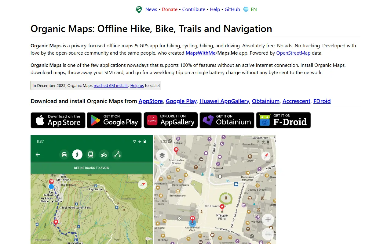
Organic Maps is a privacy-first offline maps and GPS app for hiking, cycling, biking and driving on Android and iOS. It uses crowd-sourced OpenStreetMap data and is developed by an open-source community, created by the founders of MapsWithMe (MAPS.ME). The project states there are no ads, no tracking and no data collection.
Features include detailed offline maps, cycling routes, hiking trails and walking paths, contour lines, elevation profiles, peaks and slopes, and turn-by-turn walking, cycling and car navigation with voice guidance. It also offers subway maps and public transport routes, fast offline search, Wikipedia articles for places of interest, dark mode, and bookmark and track import and export in KML, KMZ, GPX and GeoJSON.
The README describes it as an open-source alternative to Google Maps, Apple Maps and MAPS.ME, and says countries and regions are stored compactly so they do not take much space. The Android app is verified by the Exodus Privacy Project and the iOS app by TrackerControl. It is free, funded by donations, and the repository lists its license as 'Other'.
Key features
- Offline maps from OpenStreetMap data
- Turn-by-turn walking, cycling and car navigation
- Hiking trails, cycling routes and contour lines
- Subway maps and public transport routes
- Offline search and Wikipedia articles
- Bookmark import and export in GPX and KML
Pricing: Free to use with no ads; the project relies on donations.