4 open-source alternatives ranked by real activity

Open-source CalTopo alternatives

A curated, ranked list of the 4 best open-source alternatives to CalTopo.

The best open-source alternative to CalTopo is QGIS. If that doesn't suit you, other good options are OsmAnd, Wanderer and OpenStreetMap.

Commercial alternatives to CalTopo include AllTrails, Gaia GPS, onX Maps and Komoot. See all 11.

CalTopo alternatives are mainly map & navigation tools, but some are also analytics tools. 4 of them shipped code in the last 30 days, 4 can be self-hosted, and none uses a permissive licence.

Last updated November 12, 2026 · ranked by GitHub stars, growth and recent commits

QGIS

QGIS is a free, open-source geographic information system for viewing, editing and analyzing spatial data on Linux, Windows and macOS.

GitHub stars
15k
Last commit
yesterday
Latest release
final-3_44_15
Licence
GPL-2.0
Self-hosted
Yes
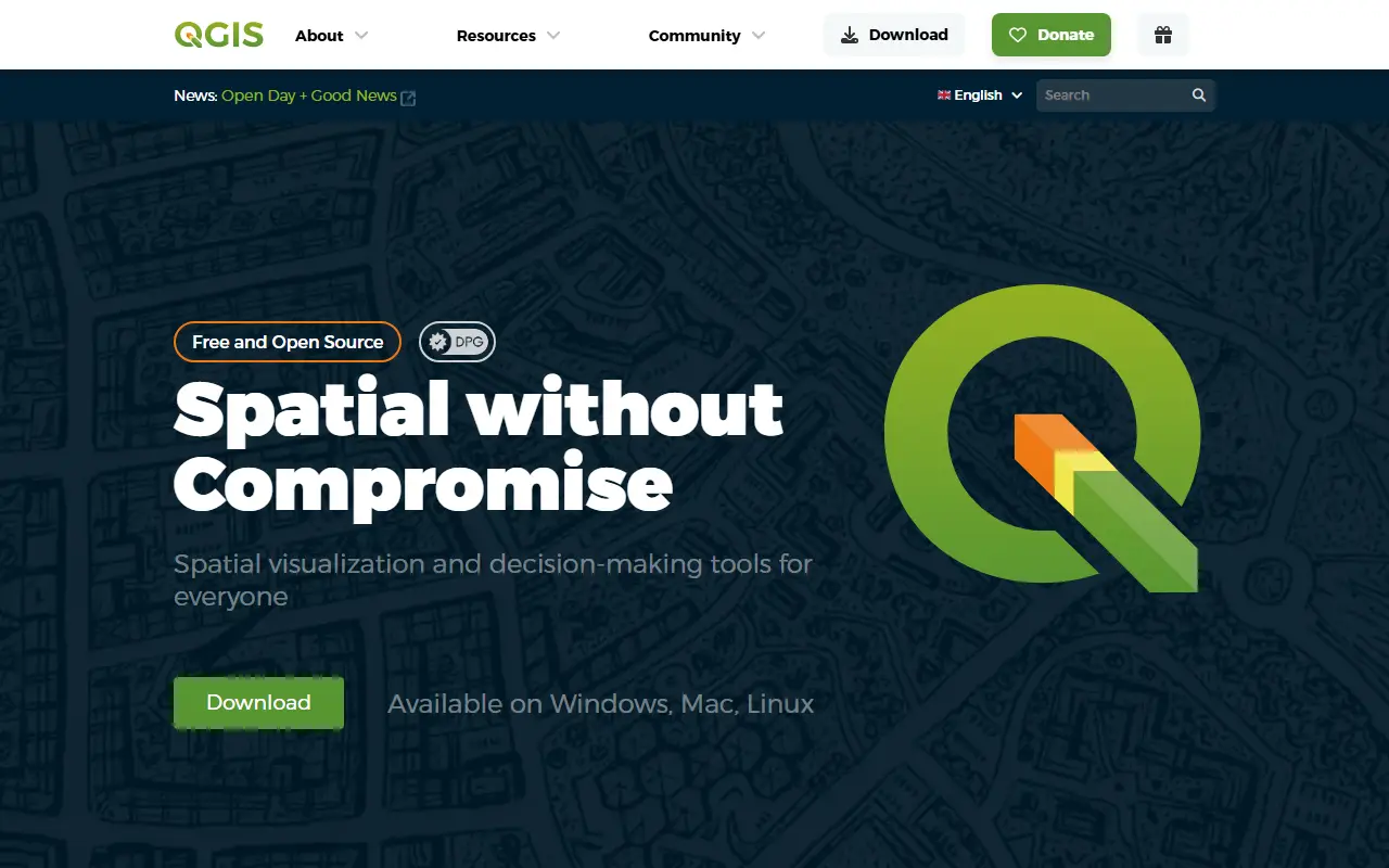
qgis.orgQGIS homepage screenshot

QGIS is a full-featured, user-friendly and free-and-open-source geographic information system that runs on Unix platforms, Windows and macOS. It is written in C++ and licensed under GPL-2.0, and it is used to manage, map and analyze spatial data.

It supports raster, vector, mesh and point cloud data in many standard formats, including GeoPackage, GeoTIFF, shapefiles, PostGIS, WFS, NetCDF and LAS/LAZ. A data abstraction framework presents local files, spatial databases such as PostGIS, SpatiaLite, SQL Server and Oracle, and web services such as WMS, WCS and WFS through one data model. Users can digitize and edit data, georeference rasters and vectors, reproject coordinate systems on the fly, and use a Nominatim geocoder.

Further areas covered in the README include cartography with a large variety of rendering options, temporal support and 3D map views, geospatial analysis, customization and extensibility, and QGIS Server for publishing maps over the web. The project follows a versioned release cycle and offers documentation, support channels and community participation.

Key features

  • Raster, vector, mesh and point cloud support
  • Access to PostGIS, SpatiaLite and web services
  • Digitizing, editing and georeferencing
  • On-the-fly coordinate reprojection
  • Temporal support and 3D map view
  • QGIS Server for publishing maps

Pricing: Free and open source under the GPL-2.0 license.

Read more about QGISWebsiteGitHub#1 CalTopo alternative

OsmAnd

OsmAnd is a map and navigation app for mobile devices that uses OpenStreetMap data and works fully offline with voice-guided routing.

GitHub stars
6.1k
Last commit
yesterday
Latest release
2.0.0
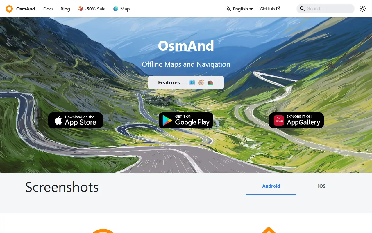
osmand.netOsmAnd homepage screenshot

OsmAnd, short for OSM Automated Navigation Directions, is a map viewing and navigation application for mobile devices. It uses the free, worldwide OpenStreetMap database and puts particular stress on complete offline use, with preloaded map data, or economical internet usage.

Using the device's GPS, it provides routing with visual and voice guidance for car, bike and pedestrian travel. Navigation works online or offline, with turn-by-turn voice guidance, optional lane guidance, street name display, estimated time of arrival, intermediate points and automatic re-routing. You can search for places by address, by type such as restaurants, hotels or museums, or by coordinates. On the map it shows your position and orientation and can align the map to the compass or direction of motion.

OsmAnd is written in Java, and the app is distributed through Android markets and the Apple App Store. The repository lists its licence as other, so check the project for the exact terms, and community discussion takes place in a Google group.

Key features

  • Offline maps from OpenStreetMap data
  • Turn-by-turn voice guidance
  • Routing for car, bike and pedestrians
  • Lane guidance and estimated arrival time
  • Automatic re-routing
  • Place search by address, type or coordinates

Wanderer

wanderer is a self-hosted trail database where you can upload GPS tracks, plan routes and build a searchable, shareable catalogue of your outdoor adventures.

GitHub stars
4.1k
Last commit
2 days ago
Latest release
v0.21.2
Licence
AGPL-3.0
Self-hosted
Yes
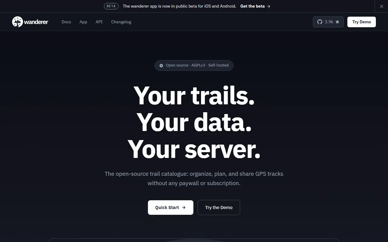
wanderer.toWanderer homepage screenshot

wanderer is a self-hosted trail database for storing and organizing your outdoor adventures. You can upload recorded GPS tracks or create new routes, add metadata and build an easily searchable catalogue of your hikes, rides and walks.

Core features include managing trails, planning new routes, extensive map integration and visualization, sharing trails with others and exploring theirs, advanced filtering and search, and custom lists to organize trails further. The project builds on PocketBase, SvelteKit and Meilisearch, according to its topics. The recommended installation uses Docker Compose, with a setup script that downloads the compose file and fills in freshly generated secrets.

wanderer is licensed under AGPL-3.0 and runs on your own server, keeping location data out of commercial fitness platforms. It suits hikers, cyclists and trail enthusiasts who want a private home for their GPS recordings.

Key features

  • Upload and manage GPS trails
  • Route planning tools
  • Map visualization of trails
  • Search and filter your catalogue
  • Share trails with other users
  • Custom lists for organizing trails

Pricing: Free and open source under AGPL-3.0.

OpenStreetMap

The Ruby on Rails application behind the OpenStreetMap website and API, including user accounts, diaries, messaging and the editing API.

GitHub stars
2.9k
Last commit
yesterday
Licence
GPL-2.0
Self-hosted
Yes
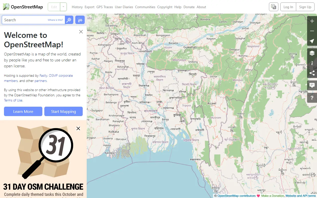
openstreetmap.orgOpenStreetMap homepage screenshot

openstreetmap-website is the Ruby on Rails application that powers the OpenStreetMap website and its API. OpenStreetMap is a collaboratively built map of the world, and this codebase is the web layer that lets contributors register, discuss and edit data. It is released under the GNU General Public License 2.0.

The repository includes the website itself with user accounts, diary entries and user-to-user messaging, the XML and JSON based editing API, the Browse pages that present the map data on the web and GPX upload, browsing and API support. A complete installation also depends on other services, such as map tile servers and geocoding, that come from separate software; the default setup uses public services for development and testing.

It uses PostgreSQL as its database and has many dependencies, so INSTALL.md is the place to start. Development is open to pull requests, bugs go in the issue tracker, translations are handled through Translatewiki, and there are a development mailing list and an IRC channel. A contributing guide describes the code conventions.

Key features

  • OpenStreetMap website with user accounts
  • XML and JSON editing API
  • Browse pages for map data
  • GPX upload, browsing and API
  • Diary entries and user-to-user messaging

Pricing: Free and open source under GPL-2.0.

Commercial CalTopo alternatives

Hosted, closed-source products that compete with CalTopo.

CalTopo alternatives: questions

What is the best open-source alternative to CalTopo?
QGIS is the top-ranked open-source alternative to CalTopo on Enlisted: QGIS is a free, open-source geographic information system for viewing, editing and analyzing spatial data on Linux, Windows and macOS. Other strong options are OsmAnd, Wanderer and OpenStreetMap.
What are the best commercial alternatives to CalTopo?
AllTrails, Gaia GPS, onX Maps, Komoot and Google Maps are among the hosted, closed-source alternatives to CalTopo listed on Enlisted, which lists 11 in total. Compare their pricing and features on each tool page.
Are these CalTopo alternatives free?
All 4 are open source, so the code is free to use under its licence, and all of them can be self-hosted on your own server or computer.
How is this list of CalTopo alternatives ranked?
By a score built from GitHub stars, star growth over the last 30 days and how recently the code changed. 4 of these projects shipped code in the last 30 days. Data is refreshed daily, and nobody can pay to move up.

People also look for alternatives to…

View all