4 open-source alternatives ranked by real activity

Open-source Komoot alternatives

A curated, ranked list of the 4 best open-source alternatives to Komoot.

The best open-source alternative to Komoot is Organic Maps. If that doesn't suit you, other good options are OsmAnd, Wanderer and Openrouteservice.

Commercial alternatives to Komoot include AllTrails, Gaia GPS, onX Maps and Ride with GPS. See all 17.

Komoot alternatives are mainly map & navigation tools, but some are also team chat tools. 4 of them shipped code in the last 30 days, 4 can be self-hosted, and none uses a permissive licence.

Last updated November 12, 2026 · ranked by GitHub stars, growth and recent commits

Organic Maps

Organic Maps is a free, open-source offline maps and navigation app for Android and iOS built on OpenStreetMap data, with no ads or tracking.

GitHub stars
16k
Last commit
yesterday
Latest release
2026.11.11-39-android
Self-hosted
Yes
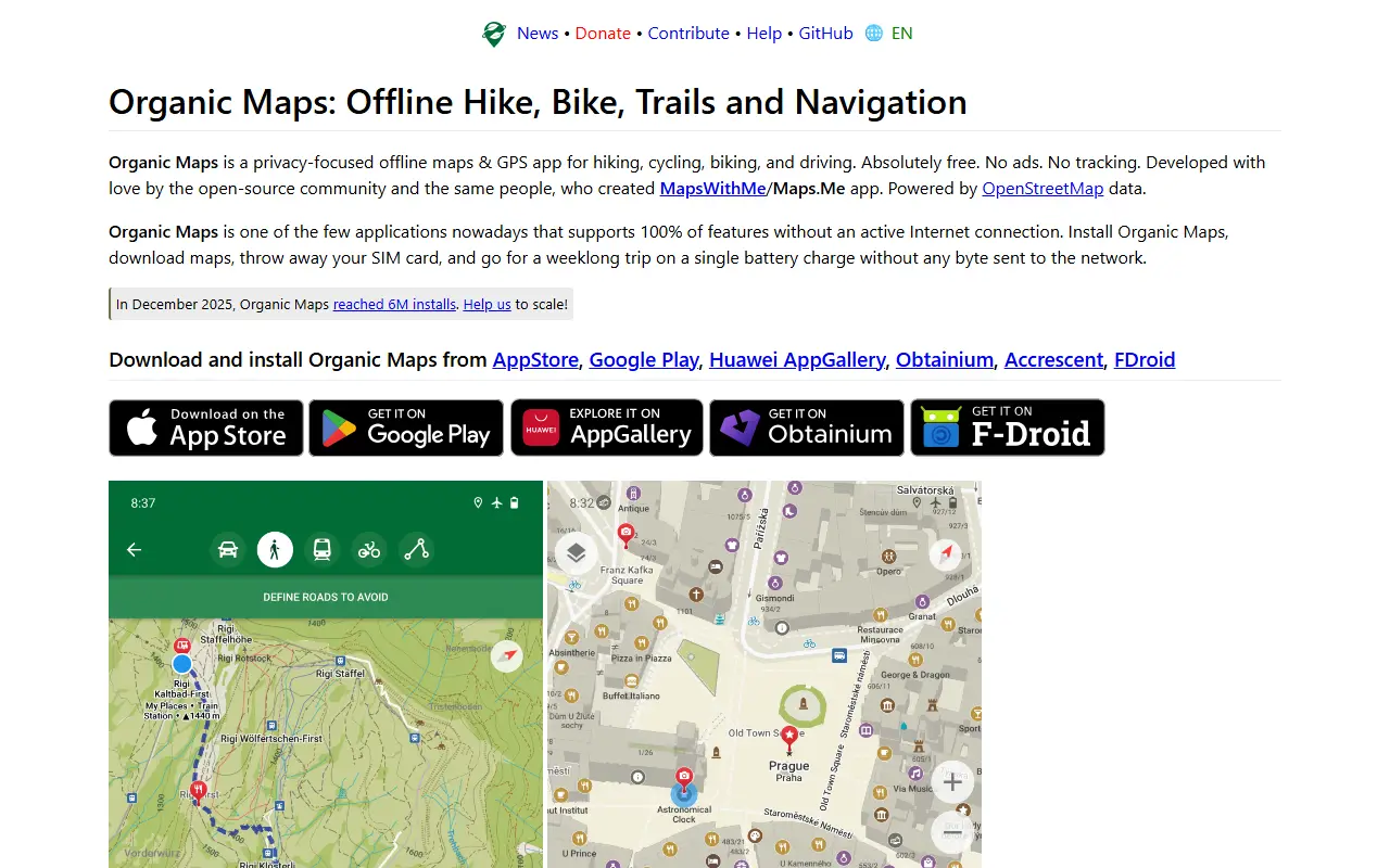
organicmaps.appOrganic Maps homepage screenshot

Organic Maps is a privacy-first offline maps and GPS app for hiking, cycling, biking and driving on Android and iOS. It uses crowd-sourced OpenStreetMap data and is developed by an open-source community, created by the founders of MapsWithMe (MAPS.ME). The project states there are no ads, no tracking and no data collection.

Features include detailed offline maps, cycling routes, hiking trails and walking paths, contour lines, elevation profiles, peaks and slopes, and turn-by-turn walking, cycling and car navigation with voice guidance. It also offers subway maps and public transport routes, fast offline search, Wikipedia articles for places of interest, dark mode, and bookmark and track import and export in KML, KMZ, GPX and GeoJSON.

The README describes it as an open-source alternative to Google Maps, Apple Maps and MAPS.ME, and says countries and regions are stored compactly so they do not take much space. The Android app is verified by the Exodus Privacy Project and the iOS app by TrackerControl. It is free, funded by donations, and the repository lists its license as 'Other'.

Key features

  • Offline maps from OpenStreetMap data
  • Turn-by-turn walking, cycling and car navigation
  • Hiking trails, cycling routes and contour lines
  • Subway maps and public transport routes
  • Offline search and Wikipedia articles
  • Bookmark import and export in GPX and KML

Pricing: Free to use with no ads; the project relies on donations.

OsmAnd

OsmAnd is a map and navigation app for mobile devices that uses OpenStreetMap data and works fully offline with voice-guided routing.

GitHub stars
6.1k
Last commit
yesterday
Latest release
2.0.0
osmand.netOsmAnd homepage screenshot

OsmAnd, short for OSM Automated Navigation Directions, is a map viewing and navigation application for mobile devices. It uses the free, worldwide OpenStreetMap database and puts particular stress on complete offline use, with preloaded map data, or economical internet usage.

Using the device's GPS, it provides routing with visual and voice guidance for car, bike and pedestrian travel. Navigation works online or offline, with turn-by-turn voice guidance, optional lane guidance, street name display, estimated time of arrival, intermediate points and automatic re-routing. You can search for places by address, by type such as restaurants, hotels or museums, or by coordinates. On the map it shows your position and orientation and can align the map to the compass or direction of motion.

OsmAnd is written in Java, and the app is distributed through Android markets and the Apple App Store. The repository lists its licence as other, so check the project for the exact terms, and community discussion takes place in a Google group.

Key features

  • Offline maps from OpenStreetMap data
  • Turn-by-turn voice guidance
  • Routing for car, bike and pedestrians
  • Lane guidance and estimated arrival time
  • Automatic re-routing
  • Place search by address, type or coordinates

Wanderer

wanderer is a self-hosted trail database where you can upload GPS tracks, plan routes and build a searchable, shareable catalogue of your outdoor adventures.

GitHub stars
4.1k
Last commit
2 days ago
Latest release
v0.21.2
Licence
AGPL-3.0
Self-hosted
Yes
wanderer.toWanderer homepage screenshot

wanderer is a self-hosted trail database for storing and organizing your outdoor adventures. You can upload recorded GPS tracks or create new routes, add metadata and build an easily searchable catalogue of your hikes, rides and walks.

Core features include managing trails, planning new routes, extensive map integration and visualization, sharing trails with others and exploring theirs, advanced filtering and search, and custom lists to organize trails further. The project builds on PocketBase, SvelteKit and Meilisearch, according to its topics. The recommended installation uses Docker Compose, with a setup script that downloads the compose file and fills in freshly generated secrets.

wanderer is licensed under AGPL-3.0 and runs on your own server, keeping location data out of commercial fitness platforms. It suits hikers, cyclists and trail enthusiasts who want a private home for their GPS recordings.

Key features

  • Upload and manage GPS trails
  • Route planning tools
  • Map visualization of trails
  • Search and filter your catalogue
  • Share trails with other users
  • Custom lists for organizing trails

Pricing: Free and open source under AGPL-3.0.

Openrouteservice

Openrouteservice is an open source Java routing engine on OpenStreetMap data, offering directions, isochrones, matrix, snapping and export APIs.

GitHub stars
2k
Last commit
2 days ago
Latest release
v10.1.0
Licence
GPL-3.0
Self-hosted
Yes
Hosted version
Available
openrouteservice.orgOpenrouteservice homepage screenshot

Openrouteservice is a customisable routing service written in Java. It uses a forked and edited version of graphhopper 4.0 and consumes collaboratively collected OpenStreetMap data to provide global spatial services.

The software exposes a Directions service for different transport modes, an Isochrones service for areas reachable from given locations, a Matrix service for one-to-many, many-to-one and many-to-many time and distance tables, a Snapping service for placing coordinates on the road network, and an Export service for the base graph. Health and Status endpoints exist on self-run instances only.

Docker is the suggested way to run it. The README walks through creating a few directories, downloading the release docker-compose.yml and running docker compose up -d, which starts an example setup with a test OSM extract for Heidelberg. The endpoints then answer on port 8080.

Key features

  • Directions for different transport modes
  • Isochrones for reachability areas
  • Time and distance matrices
  • Snap coordinates to the road network
  • Export the base graph
  • Health and status endpoints on own instances
  • Docker Compose setup with a test OSM file

Commercial Komoot alternatives

Hosted, closed-source products that compete with Komoot. Showing 12 of 17.

See every Komoot alternative on its tool page

Komoot alternatives: questions

What is the best open-source alternative to Komoot?
Organic Maps is the top-ranked open-source alternative to Komoot on Enlisted: Organic Maps is a free, open-source offline maps and navigation app for Android and iOS built on OpenStreetMap data, with no ads or tracking. Other strong options are OsmAnd, Wanderer and Openrouteservice.
What are the best commercial alternatives to Komoot?
AllTrails, Gaia GPS, onX Maps, Ride with GPS and Strava are among the hosted, closed-source alternatives to Komoot listed on Enlisted, which lists 17 in total. Compare their pricing and features on each tool page.
Are these Komoot alternatives free?
All 4 are open source, so the code is free to use under its licence, and all of them can be self-hosted on your own server or computer. 1 also offers a paid or managed cloud version if you'd rather not host it yourself.
How is this list of Komoot alternatives ranked?
By a score built from GitHub stars, star growth over the last 30 days and how recently the code changed. 4 of these projects shipped code in the last 30 days. Data is refreshed daily, and nobody can pay to move up.

People also look for alternatives to…

View all