
About CARTO
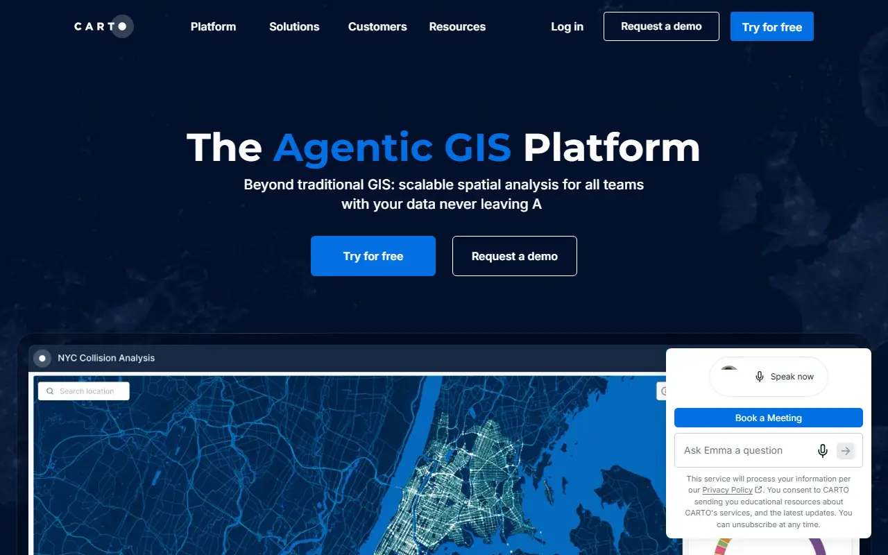
CARTO is a cloud-native spatial analytics and GIS platform that presents itself as an agentic GIS platform. It is built so that spatial data stays inside the customer's own cloud data warehouse, with no ETL step and no separate data silo. It connects to Google Cloud BigQuery, AWS, Azure, Snowflake, Databricks and Oracle.
The platform covers visualization, analytics, app development, data enrichment and AI agents in one product for data analysts, data scientists, GIS professionals and developers. The analytics side offers a low-code, drag-and-drop interface with more than a hundred analysis components. Solutions are organized by industry, use case and role, including site selection, logistics, insurance and retail. It is a hosted commercial platform with a free trial and a demo option.
Key features
- Spatial data that stays in your own cloud
- Low-code analytics with drag-and-drop components
- Map visualization of spatial data
- App development tools for location features
- Data enrichment and AI agents
- Connectors for BigQuery, Snowflake and Databricks
Good fit for
- →Choosing store or network sites with spatial analysis
- →Analyzing logistics or insurance risk by location
- →Building location apps on a cloud data warehouse
- Tags
- gis
- location-intelligence
- spatial-analytics
- cloud-native
- data-warehouse
- visualization
- bi
CARTO: questions and answers
- What is CARTO used for?
- CARTO is a cloud-native location intelligence platform for spatial analysis, visualization and app development on top of a company's own cloud data. It is a good fit for choosing store or network sites with spatial analysis, analyzing logistics or insurance risk by location and building location apps on a cloud data warehouse.
- How much does CARTO cost?
- CARTO doesn't publish fixed prices; pricing is quoted on request. A free trial is available. No prices are published. Pay As You Go is metered by usage and three committed annual tiers (Enterprise, Strategic, Custom) are quoted by sales; a 30-day free trial is available.
- Is CARTO open source?
- No. CARTO is proprietary (closed-source) software and can't be self-hosted. In the Maps & Navigation category, open-source options include OpenStreetMap, Organic Maps and Dawarich.
Open-source alternatives to CARTO
See all
OpenStreetMap
Maps & Navigation
The Rails application that powers OpenStreetMap
GPL-2.0vs Google Maps★ 2.8k
Organic Maps
Maps & Navigation
🍃 Organic Maps is a free Android & iOS offline maps app for more than 6M travelers, touri
OSSvs Google Maps★ 16k
Dawarich
Maps & Navigation
The private alternative to Google Timeline. Import your location history, keep it forever.
AGPL-3.0★ 11k
OsmAnd
Maps & Navigation
OsmAnd
OSSvs Google Maps★ 6.1k
Wanderer
Maps & Navigation
wanderer is a self-hosted trail database. Save your adventures!
AGPL-3.0vs Komoot★ 3.9k
iD
Maps & Navigation
🆔 The easy-to-use OpenStreetMap editor in JavaScript.
ISC★ 3.9k
SaaS alternatives to CARTO
See all
ArcGIS
Analytics
Esri geographic information system software for mapping and spatial analysis
SaaS
Felt
Maps & Navigation
Collaborative web mapping tool for making and sharing maps
SaaS
Mapbox
Maps & Navigation
Maps, navigation and location APIs and SDKs for developers
SaaS
Foursquare
Maps & Navigation
Location data and places APIs, plus consumer discovery apps
SaaS
Cesium
Maps & Navigation
3D geospatial platform and Cesium ion for streaming 3D tiles and terrain
SaaS
Nearmap
Maps & Navigation
High-resolution aerial imagery and location data subscription service
SaaS