
About Nearmap
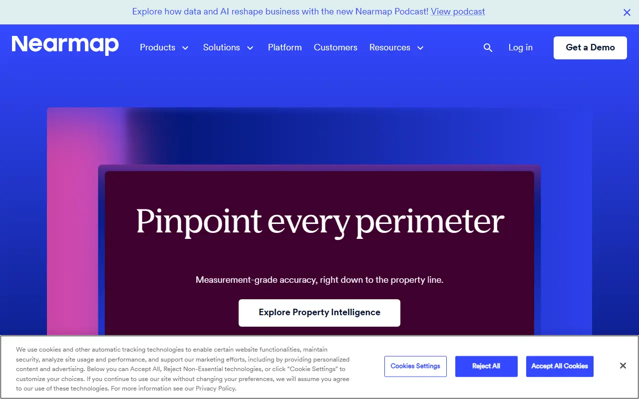
Nearmap sells high-resolution aerial imagery and property data by subscription. The company captures the images itself with a patented camera system, analyzes them with its own AI, and delivers the results through workflow applications and direct integrations, so decisions about properties can rely on current imagery rather than manual site visits.
According to the vendor, imagery is captured at resolutions of roughly 4.4 to 7.5 centimeters per pixel or better and refreshed up to three times a year, and its AI model produces more than a hundred semantic property layers. The platform is described as covering the whole property lifecycle with measurement-grade accuracy down to the property line. Nearmap is a hosted commercial service, and a demo can be requested from the site.
Key features
- High-resolution aerial imagery
- Imagery refreshed several times a year
- AI-generated semantic property layers
- Measurement-grade property line accuracy
- Workflow applications and direct integrations
Good fit for
- →Assessing property risk without a site visit
- →Measuring roofs and sites for estimates
- →Checking how a property has changed over time
- Tags
- aerial-imagery
- property-intelligence
- ai
- geospatial
- maps
- insurance
- subscription
Nearmap: questions and answers
- What is Nearmap used for?
- Nearmap is a subscription service for high-resolution aerial imagery and AI-derived property data, delivered through workflow apps and integrations. It is a good fit for assessing property risk without a site visit, measuring roofs and sites for estimates, and checking how a property has changed over time.
- How much does Nearmap cost?
- Nearmap doesn't publish fixed prices; pricing is quoted on request.
- Is Nearmap open source?
- No. Nearmap is proprietary (closed-source) software and can't be self-hosted. In the Maps & Navigation category, open-source options include Organic Maps, Dawarich and OsmAnd.
- What are some alternatives to Nearmap?
- Nearmap competes with Google Earth, ArcGIS and Cesium.
Open-source alternatives to Nearmap
See all
Organic Maps
Maps & Navigation
🍃 Organic Maps is a free Android & iOS offline maps app for more than 6M travelers, touri
OSSvs Google Maps★ 16k
Dawarich
Maps & Navigation
The private alternative to Google Timeline. Import your location history, keep it forever.
AGPL-3.0★ 11k
OsmAnd
Maps & Navigation
OsmAnd
OSSvs Google Maps★ 6.1k
Wanderer
Maps & Navigation
wanderer is a self-hosted trail database. Save your adventures!
AGPL-3.0vs Komoot★ 3.9k
OpenStreetMap
Maps & Navigation
The Rails application that powers OpenStreetMap
GPL-2.0vs Google Maps★ 2.8k
iD
Maps & Navigation
🆔 The easy-to-use OpenStreetMap editor in JavaScript.
ISC★ 3.9k
SaaS alternatives to Nearmap
See all
Google Earth
Maps & Navigation
3D globe and satellite imagery viewer from Google
SaaS
ArcGIS
Analytics
Esri geographic information system software for mapping and spatial analysis
SaaS
Cesium
Maps & Navigation
3D geospatial platform and Cesium ion for streaming 3D tiles and terrain
SaaS
Mapbox
Maps & Navigation
Maps, navigation and location APIs and SDKs for developers
SaaS
Felt
Maps & Navigation
Collaborative web mapping tool for making and sharing maps
SaaS
CARTO
Maps & Navigation
Cloud-native location intelligence and spatial analytics platform
SaaS