 TrackMedia
 TrackRev

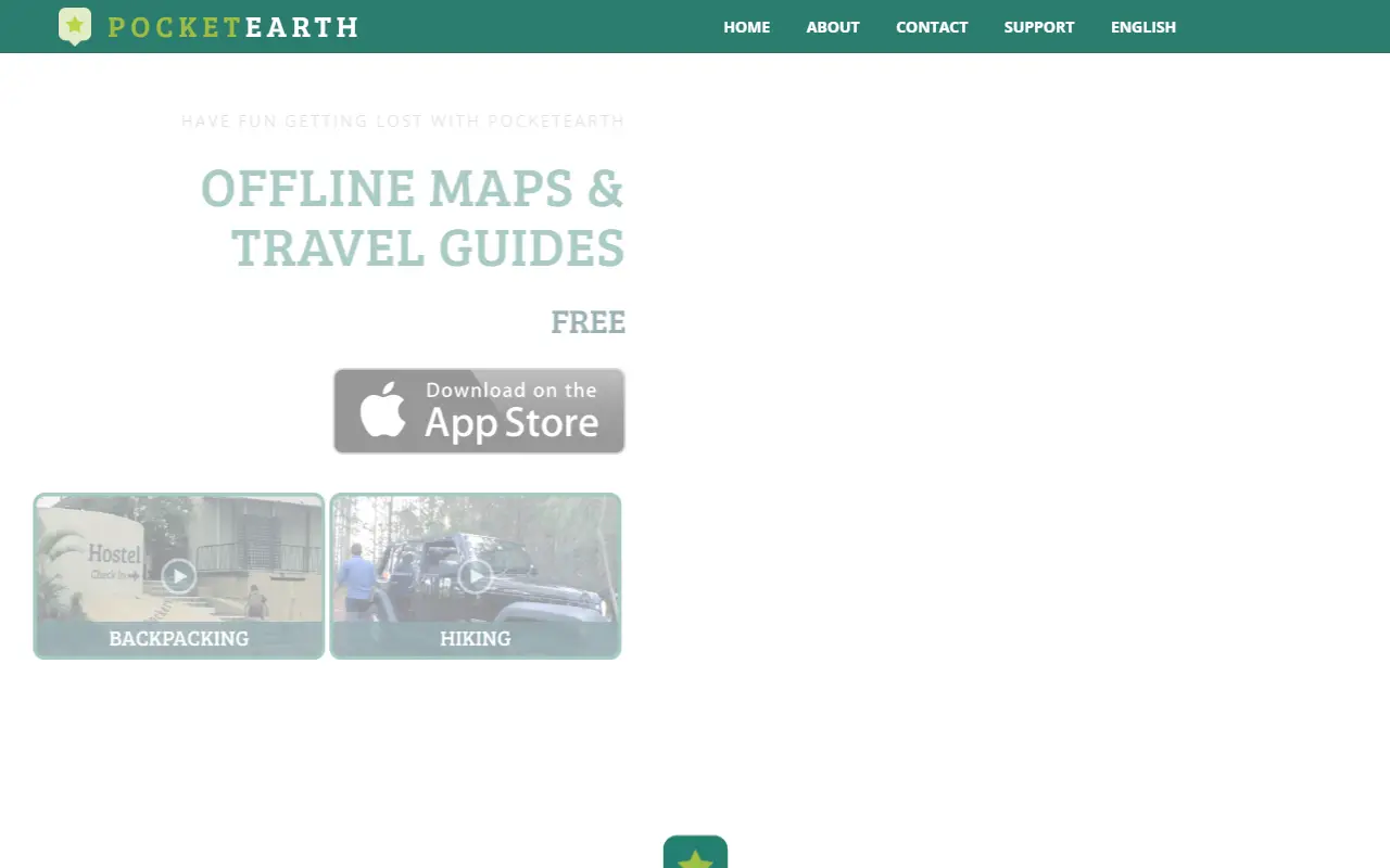
About Pocket Earth
Pocket Earth is a map app for iPhone and iPad from GeoMagik LLC. Maps are downloaded for cities, regions or whole countries and then work with no connection, including GPS positioning, so travellers avoid data roaming charges abroad or in the wilderness.
For city travel it bundles Wikivoyage travel guides and Wikipedia articles that can be read offline, plus listings of hotels, restaurants, bars, tourist sites and public transit. Places and favorites can be pinned, annotated and shared.
Outdoor users get hiking and cycling maps, GPS track recording and GPX and CSV import and export. Topographic contour maps are an in-app purchase. The map data comes from community-driven open data that the developer imports and refreshes frequently.
Key features
- Maps work offline, including GPS positioning
- Offline Wikivoyage guides and Wikipedia articles
- GPS track recording for hikes and rides
- Topographic contour maps as an in-app purchase
- GPX and CSV import and export
- Online routing, with multi-stop trips saved for offline voice guidance
Good fit for
- Travelling abroad without roaming
- Hiking and cycling navigation
- Offline city guides
Pocket Earth: questions and answers
- What is Pocket Earth used for?
- Pocket Earth is an iPhone and iPad app with offline maps, Wikivoyage travel guides, hiking and cycling maps and GPS track recording. It is a good fit for travelling abroad without roaming, hiking and cycling navigation, and offline city guides.
- Is Pocket Earth open source?
- No. Pocket Earth is proprietary (closed-source) software. In the Maps & Navigation category, open-source options include Organic Maps, OsmAnd and Wanderer.
- What are some alternatives to Pocket Earth?
- Pocket Earth competes with Magic Earth.
Open-source alternatives to Pocket Earth
See all
Organic Maps
Maps & Navigation
🍃 Organic Maps is a free Android & iOS offline maps app for more than 6M travelers, touri
OSSvs Google Maps★ 16k
OsmAnd
Maps & Navigation
OsmAnd
OSSvs Google Maps★ 6.1k
Wanderer
Maps & Navigation
wanderer is a self-hosted trail database. Save your adventures!
AGPL-3.0vs Komoot★ 4.1k
Dawarich
Maps & Navigation
The private alternative to Google Timeline. Import your location history, keep it forever.
AGPL-3.0★ 11k
iD
Maps & Navigation
🆔 The easy-to-use OpenStreetMap editor in JavaScript.
ISC★ 3.9k
OpenStreetMap
Maps & Navigation
The Rails application that powers OpenStreetMap
GPL-2.0vs Google Maps★ 2.9k
SaaS alternatives to Pocket Earth
See all
Magic Earth
Maps & Navigation
Free offline navigation app with turn-by-turn directions and traffic
SaaS
MAPS.ME
Maps & Navigation
Offline maps and navigation app built on OpenStreetMap data
SaaSSygic
Maps & Navigation
Offline GPS navigation app for cars with traffic and truck routing
SaaS
CoPilot GPS
Maps & Navigation
Offline GPS navigation app for cars, trucks and RVs
SaaS
Waze
Maps & Navigation
Community-driven GPS navigation app with real-time traffic and hazard reports
SaaS
Guru Maps
Maps & Navigation
Offline maps and navigation app with GPS tracks and synchronization
SaaS